
By Bev Mortimer and Japie Buckle
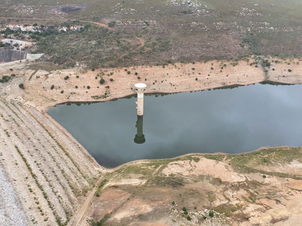
Most users of water from the dams in the Kouga Local Municipality and Nelson Mandela Bay Metro area are aware that rains need to fall in the catchment area, which is the Baviaanskloof and Langkloof areas, for the 3 major dams to be able to be filled.
Residents or consumers who use the water from the dams are currently all suffering from drought, water restrictions, and high water bills and need more water urgently. So every time it rains everyone gets excited that now the dams that provide our water will be filled up.
But this rarely happens and most residents in the area are left disheartened and puzzled why after heavy rainfalls, so little or no water runoff reaches the dams, from where we get our water.
And even though there are floods on the ground in Kouga very little of it is captured into storage tanks and most of it just runs away unused. Since many consumers are questioning why little or no water from the Kouga and Tsistikamma mountain catchment areas reaches our dams, St Francis Chronicle spoke to an expert on wetlands, Japie Buckle. We asked him for the reasons why.
Buckle and other water expertsconcured about the following following reasons:
Firstly, he said that during the last couple of months, not much of the rain that the coastal area experienced actually fell in the catchment area itself. For example, when there were recent high rainfall events in June in the coastal area of the Kouga Municipality area, only about 5-10 mm of rain fell in the Langkloof catchment area. He said the historical driest period for the catchment area is the months of June and July.
“We need to have good follow-up rains in the Tsitsikamma, Kouga, and Baviaanskloof mountains to first saturate the dry soil conditions before continuous runoff water will reach the dams. Historical rainfall data shows that the catchments are situated in a bimodal (maximum rainfall events in Autumn and Spring) rainfall area, which is the best time to expect rain in the catchment area.
The catchment areas are currently experiencing an extended devastating drought period/cycle (couple of years) and therefore the water runoff from these areas is very low. The 2011 -2012 years when the Kouga area saw big floods were probably the last very wet season in the catchment area. “We need another season like that,” Buckle said. Other water experts recently in the last four years years, who have explored those areas say it really has to “flood there” (massive floods) ‘ for water to fill the Kouga dams.
Buckle also said that the northern slopes of the Tsitsikamma Mountains and southern slopes of the Kouga Mountains need to get the rain to feed the Kouga River (Kouga dam) and Kromme Rivers (Mpofu and Churchill dams). Plus there needs to be good rainfalls in the Baviaanskloof area to reach the Kouga Dam. “So we need the cold fronts /clouds to be pushed northwards over the Tsitsikamma mountains to reached the Langkloof and over the Kouga mountains to reach the Baviaanskloof for the major dam catchments to get rains.
Another reason is that the catchment area is not in a good healthy condition/state. Large areas are infested with invasive alien plants (IAP) such as black wattle and Bluegum (riparian areas) as well as pines and Hakea (mountains slopes). These are all thirsty plants and use vast amounts of water, especially the trees in the riparian areas with their roots in the water. Buckle says that hydrological experiments conducted in the past show that 1ha of a matured stand of black wattle in a riparian area can use up to 34 000 litres of water per day.
The National Working for Water program (implemented by the Gamtoos Irrigation Board) has worked for years to try and address the problem in eradication these infestations. This is however a costly and massive problem to resolve and the success depends greatly on the cooperation and participation of landowners.

Another concern is the general condition of the natural veld (fynbos) in the catchment areas. Because of the short rotation (high frequency) of fires (wildfires and manmade fires) and livestock grazing practices in many of the catchment areas, the vegetation cover is greatly compromised which results in reduced water infiltration and an increase in sediment loaded runoff.
Many of the orchards over the years were planted in the floodplains (good alluvial soils on flat areas close to a water source) of the numerous tributaries and main rivers of the Kouga, Kromme, and Baviaanskloof rivers. To make maximum use of these available floodplain areas, landowners tried to keep water out of the orchards during times of floods by converting the meandering streams into straightened incised channels and by constructing berms on the channels banks.
The unintended consequence of these actions resulted in the faster /quicker drainage of the entire floodplain area adjacent to the channel, due to the fact that the water table gets dawned down much faster and water drains faster out of the catchment. Examples of this practice can be seen in the Misgund-, Louterwater-, Krakeel-, Wabooms-, Twee Riviere-, Krom- and Braam- rivers. This practice also promotes the increased movement of vast amounts of sediment down the river system which will eventually end up in the dam basins.
Another contributing factor to the water problems is the ongoing degradation of the mostly Palmiet dominated wetlands in many of the tributaries and main river systems in the area. The main causes of wetland degradation is Black wattle invasion of the riparian areas, road building through these wetlands, and the modification of the riparian areas with heavy earth moving machines.
Palmiet wetlands only occur on quarzitic sandstone sediments of the Cape Folded Mountains and on the sandstones of the southern KZN coastline. Palmiet is an ideally suitable rugged plant for these high-energy catchment areas due to its ability to absorb and mitigate the effects of a flood and to trap sediments. It has been described as the Superglue of the Cape Rivers.
Palmiet wetlands also have the added advantage of accumulating peat over many thousands of years. In some areas of the Kromme River, peat layers of over 6 meters deep, was measured, underlying the Palmiet wetland. These peatland basins areas act as a massive underground sponge and storage area of water.
They also fulfill a hydrological buffering effect during flood times by absorbing the first runoff water and therefore reduces flood damage. The Working for Wetlands program has built 9 large structures in the Kromme River to try and stop the further donga erosion that was eating into the last of the still existing Palmiet wetlands.
